
Endless Trails: Discover Lithuania’s Wild Side on Foot
Beyond Lithuania’s cities lies a landscape of quiet drama: ancient forests, misty bogs, glacial lakes and dunes shaped by the Baltic winds
Best explored on foot, these wild places offer a different side of Europe — one where you can walk for hours through seemingly untouched landscapes and still be back in town by evening.
The Baltic nation is attracting growing international interest with an impressive 74% of visitors. Beyond its historic cities, cultural attractions and increasingly acclaimed food scene, Lithuania offers another compelling reason to visit: an extraordinary variety of accessible natural landscapes and its dynamic seasonality.
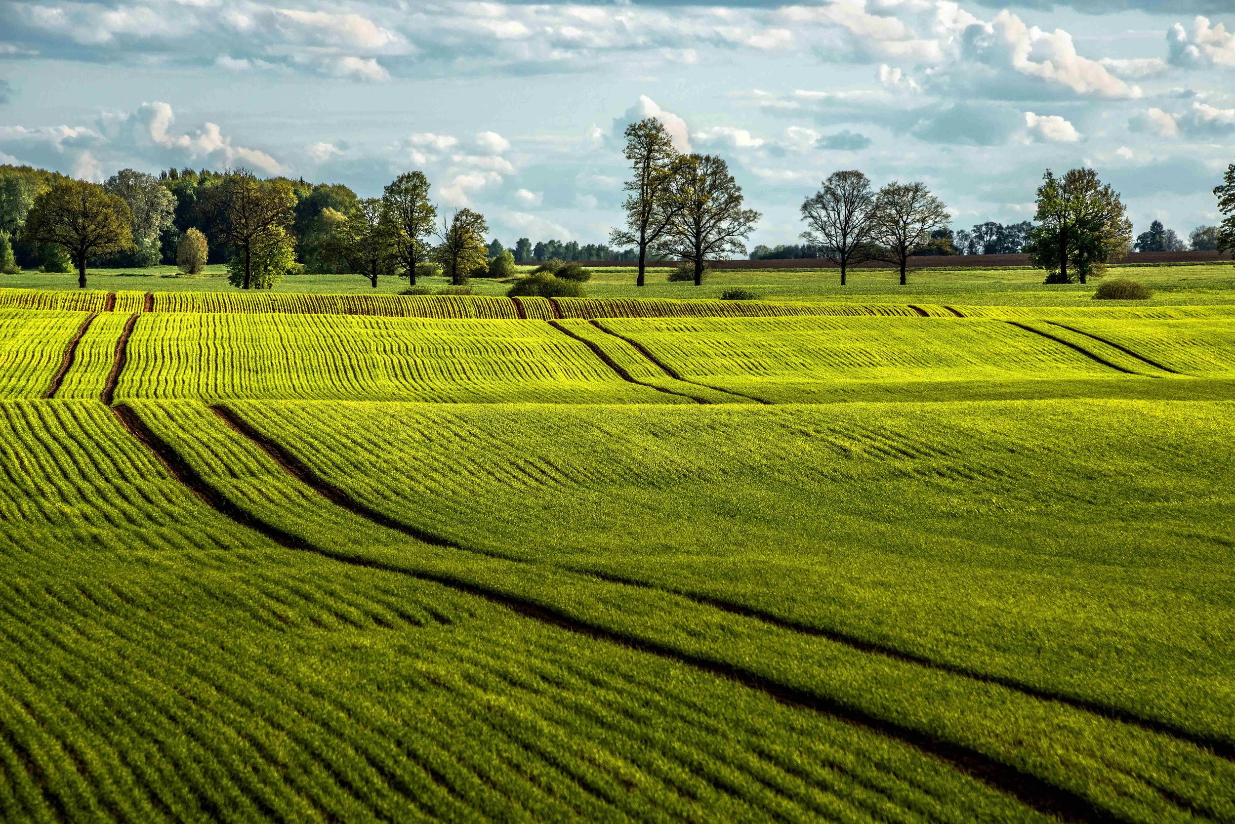
Spring arrives with renewed colour and life across the country’s wetlands and river valleys. As temperatures rise, forest trails become inviting routes beneath fresh green canopies.
Summer is made for long days outdoors, whether that means wandering through oak woodland, following a river or crossing a remote boardwalk through a peat bog.
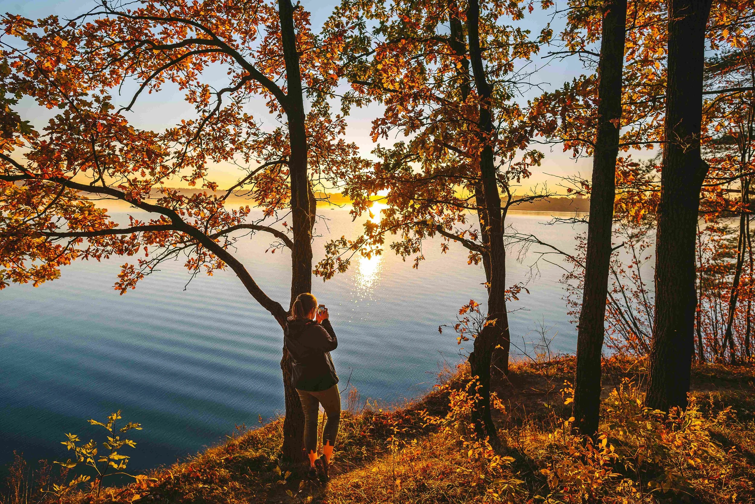
Autumn brings perhaps the most cinematic transformation, with Lithuania’s forests taking on deep shades of gold, copper and amber.
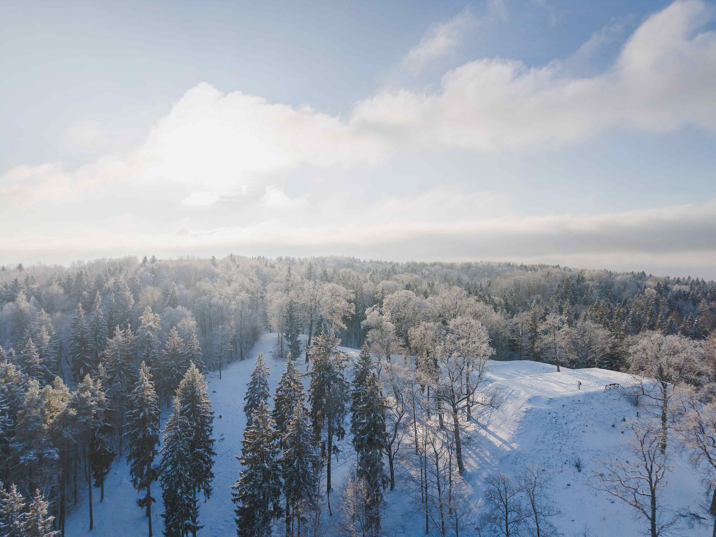
Then comes winter, when snow and frost lend the country’s wetlands and forests an entirely different character — and some trails become ideal for snowshoeing and quiet winter walks.
Five Trails that Reveal Lithuania at its Wildest
Varnikai Nature Trail — 5 km
Close to the historic town of Trakai, the Varnikai trail is an easy introduction to Lithuania’s woodland and wetland landscapes. The route passes through mature oak forest before reaching boardwalks across the Ilgelis Swamp, oevealing four hidden lakes along the way.
Mūšos Tyrelis Educational Trail — 6.7 km
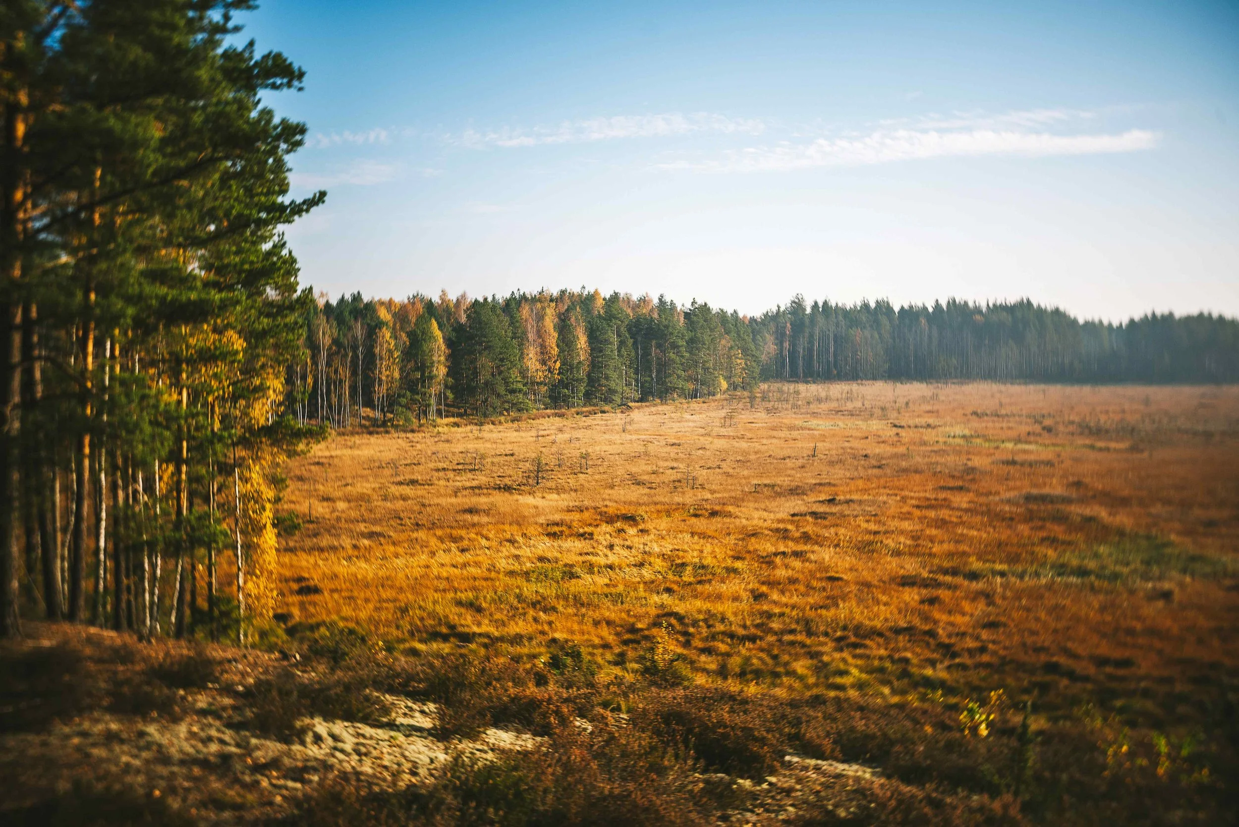
In northern Lithuania, the Mūšos Tyrelis trail takes walkers deep into a remarkable peat-bog environment. Its 6.7-kilometre boardwalk crosses the Mūšos Tyrelis wetland and is recognised as Lithuania’s longest trail across a marsh or wetland. Along the route are a natural lake, historic and cultural features, and landscapes belonging to the Natura 2000 network.
Nagliai Educational Trail — approximately 1.1 km
On the Curonian Spit, the landscape changes dramatically. The short Nagliai Educational Trail passes through the Nagliai Nature Reserve (a UNESCO World Heritage site), and across the extraordinary shifting “dead dunes”, shaped by wind and the movement of sand. From the higher ground, walkers can take in views towards both the Curonian Lagoon and the Baltic Sea. It may be a short walk, but the scenery is anything but small.
Zackagiris Educational Trail — up to 14 km
For a deeper immersion in Lithuania’s forests, head to Dzūkija National Park. The Zackagiris trail loops around Marcinkonys, passing through a landscape of forests, sand dunes, peat bogs and river valleys. Walkers can follow the full route or choose shorter loops, with highlights including the Grūda River and a peat bog with the memorable local name “Bear’s Butt”.
Karmazinai Educational Trail — 6 km
Closer to Vilnius, the Karmazinai trail offers a different kind of adventure. Set within Neris Regional Park, it combines woodland, archaeological heritage and elevated viewpoints, with wooden steps helping walkers navigate the area's more pronounced slopes. The result is a rewarding hike that demonstrates just how quickly Lithuania’s capital can give way to forest and open countryside.
The Big One: 100km Around Vilnius
For those who want to turn a city break into a genuine walking adventure, the 100km Trail Around Vilnius creates a long-distance loop around the capital, linking forests, rivers, viewpoints, neighbourhoods, and natural landmarks. The route is divided into 10 sections, so there is no need to tackle the entire distance in one go. Walkers can select individual sections for a few hours outdoors or combine them into a multi-day journey.
Much of the route follows natural, off-road terrain, with sections passing through forests and alongside the Neris, while the terrain ranges from relatively gentle stretches to considerably more demanding climbs. The Pūčkoriai Outcrop and the forests around Verkiai are among the points where the route reveals the unexpectedly hilly character of Vilnius.
Navigation is straightforward, too, with marked sections and downloadable GPX routes available for walkers who prefer to follow the trail using a smartphone or outdoor device.
For more information: Lithuania Travel
